
Understand the site
Start with the survey purpose, available records and access requirements.
Surveying & geomatics · Zambia
From a single plot to a larger development, start with a clear picture of the ground. Munga Tech turns survey measurements into practical plans, maps and data for your next decision.
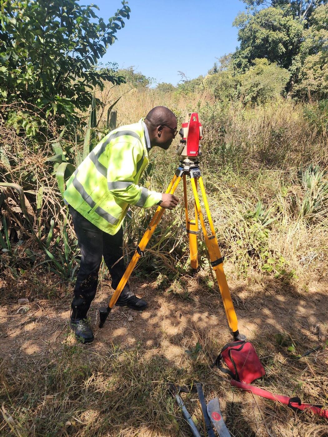
Plots. Farms. Infrastructure.
Meet the practiceFour areas of work, from knowing exactly where a boundary lies to planning, designing and building on the land.
Know the extent of your property.
Boundary verification, beacon checks and cadastral survey work for landowners, farms and development sites.
You receiveBoundary information and survey documentation suited to the agreed scope.
Who it is for and what is included: Boundary & cadastral surveysPlan with reliable ground information.
Ground levels, terrain and visible site features measured for planning, design and land management.
You receiveA site map with the levels and features needed for your project.
Who it is for and what is included: Topographical mappingUnderstand land interests across an area.
Spatial mapping of titled properties, land use and customary interests for due diligence and project planning.
You receiveMapped findings and spatial data appropriate to the assignment.
Who it is for and what is included: GIS & land rights mappingTake a design from map to ground.
Route and corridor surveys for linear infrastructure, with setting out and as-built measurement where required.
You receiveSurvey control, route information or measured records as scoped.
Who it is for and what is included: Route & engineering surveysEvery survey follows the same path. What we find on the ground is measured, checked and drawn up as the plan, map or data you receive.
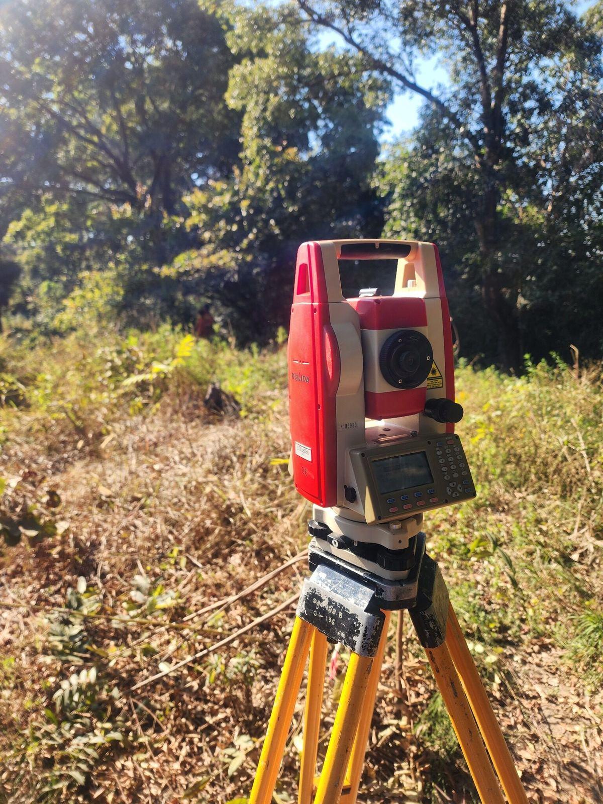
We locate existing beacons and features, compare them with the survey records, and set the instrument up over a control point.
Each beacon, corner and ground point is measured from the station. Readings are checked before we leave the site.
Boundaries, levels and features are drawn up as a plan, map or data file, with the control and coordinate system recorded.
3. Plan: The measurements become the plan you asked for.
Boundaries, levels and features are drawn up as a plan, map or data file, with the control and coordinate system recorded.
Select a stage to see how the drawing builds up. The drawing is an illustration, not a survey of a real property.
Our survey software
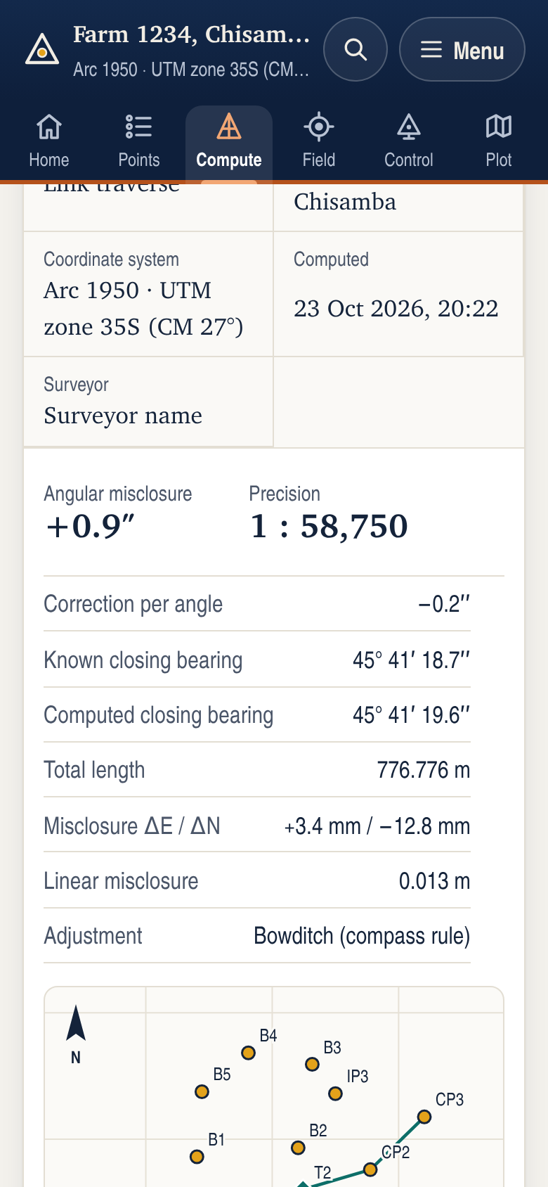
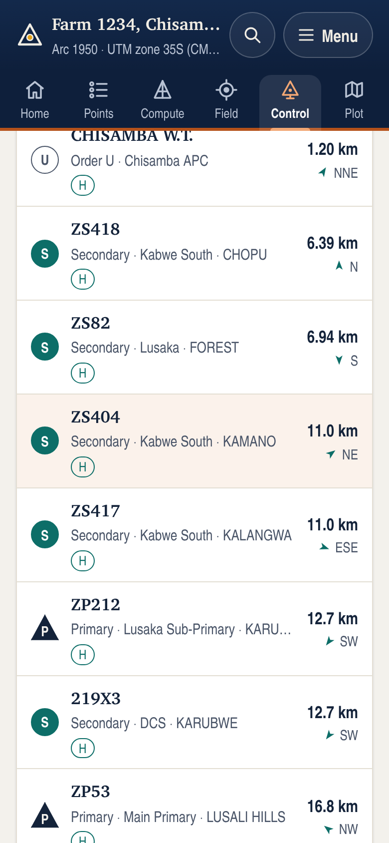
Survey software we built for land surveyors: 29 survey programmes and a finder for 5,579 Zambian control stations. It works offline, needs no account and keeps your data on your device.
From instruction to delivery
Start with the survey purpose, available records and access requirements.
Use field observations and control checks appropriate to the assignment.
Plans, coordinate schedules and geospatial data prepared for the intended use.
Our philosophy
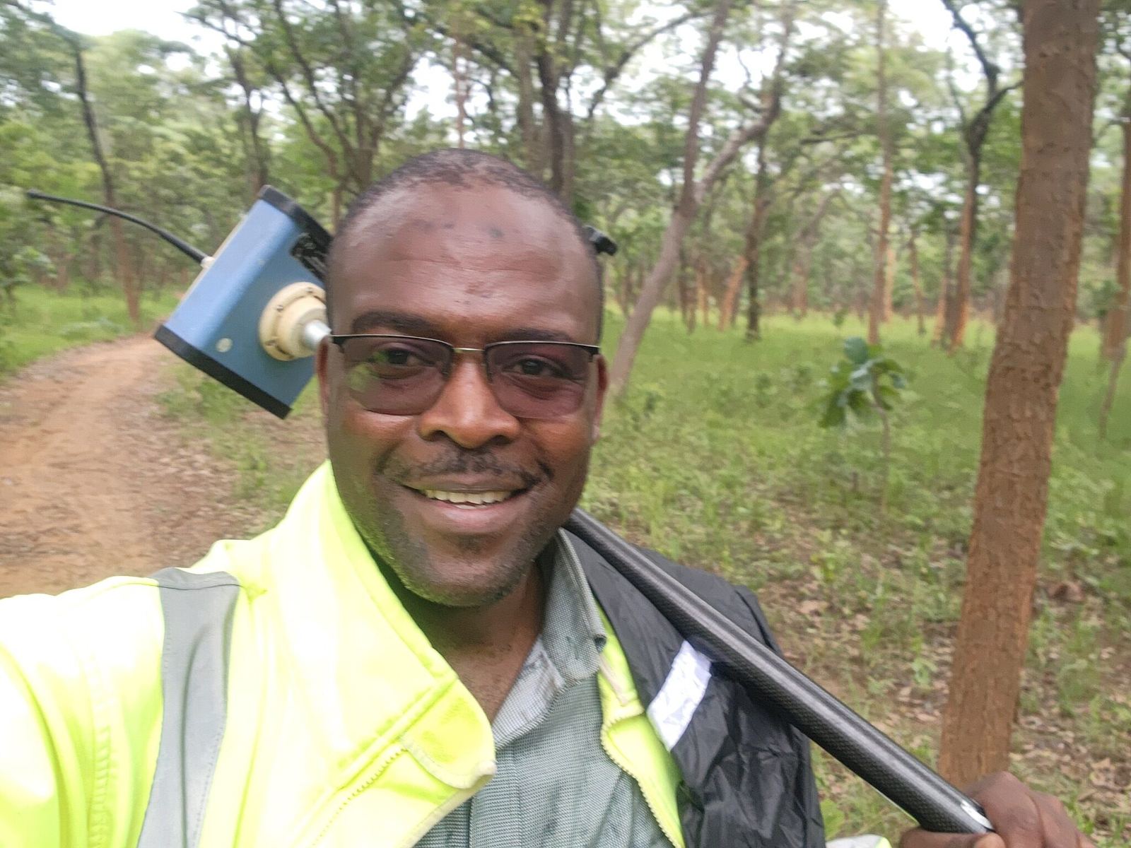
Founded by Alfred Mungalaba, Geomatic Engineer and Licensed Land Surveyor. Built around discipline, integrity and dependable survey work.
You do not need to know the technical terms. Tell us where the land is and what you need to decide, and we will reply with a quotation or a few questions.
Call or WhatsApp with the location of the site and what you need to establish or map. We serve clients throughout Zambia.