
Land decisions built on reliable information.
To be a trusted Zambian surveying and geomatics practice that helps people protect land interests and plan development with confidence.
Munga Tech Ltd · Surveying & geomatics
For us, success means a client can move forward with a clear understanding of their land, their measurements and their next step.
Who we are
Munga Tech Ltd is a Lusaka-based surveying and geomatics practice serving projects across Zambia. Our services cover boundary and cadastral surveys, topographical mapping, engineering surveys, and GIS and land-rights mapping.
Our approach is grounded in preparation, technical care and clear communication, from the first instruction to the final handover.
To be a trusted Zambian surveying and geomatics practice that helps people protect land interests and plan development with confidence.
To deliver carefully checked surveys, clear plans and practical geospatial tools, with integrity, discipline and respect for the people affected by our work.
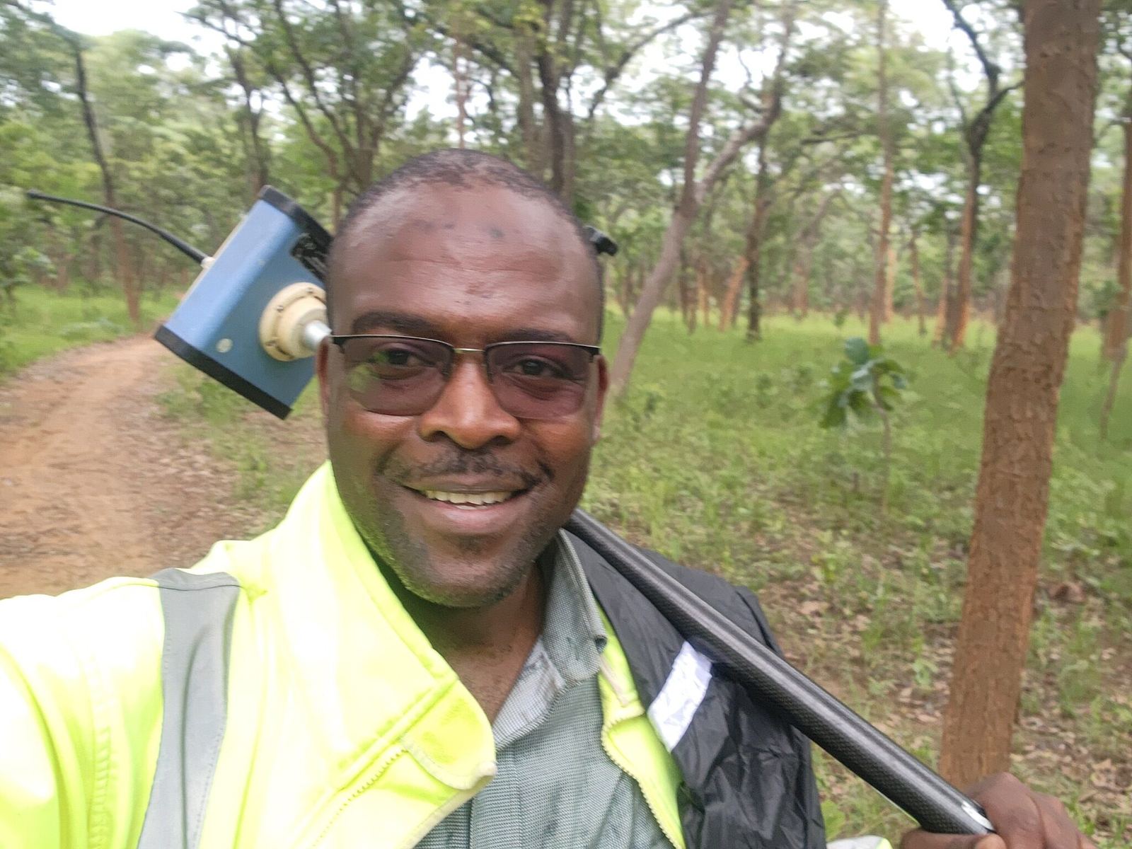
Our founder
Founder · Geomatic Engineer · Licensed Land Surveyor
Munga Tech brings together Alfred's professional interests in land surveying, GIS and practical geospatial tools.
The practice's guiding idea is simple: dependable results begin with disciplined preparation and careful measurement. That approach shapes how we define the work, check observations and explain the results to clients.
As founder, Alfred's focus is on building a practice whose work is clear, responsible and useful beyond the field.
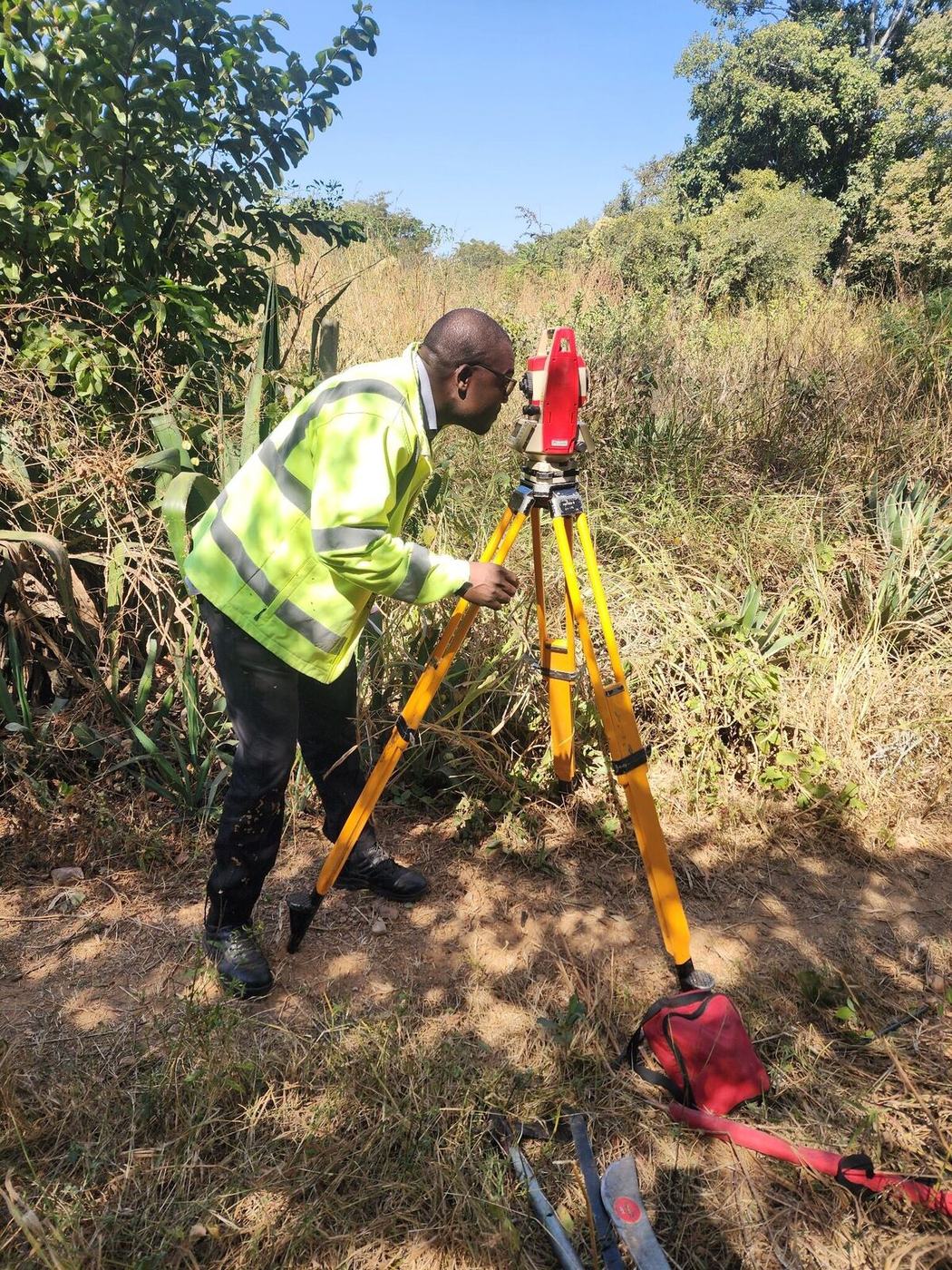
Grounded in field practice
Site conditions, control, instrument setup and independent checks all matter. The finished plan is only as useful as the observations behind it.
These photographs show Alfred's professional field experience. They are not presented as evidence of a particular Munga Tech commission.
See how we workThe standards we work by
The principles behind every measurement, decision and delivery.
Measure carefully, check independently and make the limits of the data clear.
Give honest advice and report what the evidence supports, even when the answer is inconvenient.
Prepare thoroughly, follow a clear field procedure and maintain orderly records.
Agree on responsibilities, communicate progress and take ownership of the work delivered.
Understand the client's purpose and provide information they can put to use.
Work safely, handle information with care and respect landowners, communities and the environment.
Our approach
A practical connection between the site, the survey evidence and the decision that follows.
A boundary check, a topographical survey and an engineering set-out need different approaches. We agree on the scope and outputs before fieldwork begins.
Survey records, control and field observations are considered together. Discrepancies are explained rather than hidden behind a finished drawing.
Outputs are agreed around the next step: land administration, design, setting out or GIS. The coordinate system and relevant limitations are recorded.
Alongside field services, Munga GeoSurvey supports calculations, coordinate handling and control-location planning for surveyors.
Your next step
Share the site location, your purpose and any existing records. We will help define the survey scope.